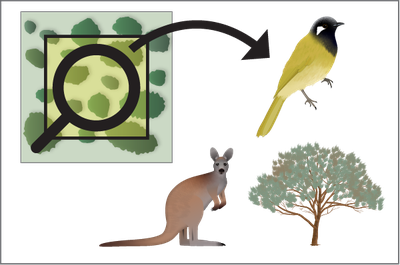
Monitoring Country
Please note: This platform is currently in beta. Some content and features may be incomplete or missing. Please contact us if you notice any errors.
Tools
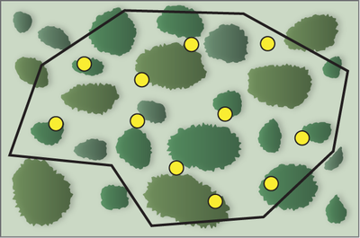
Monitoring points in area generator
Used to generate evenly spaced or random monitoring points inside an area on a map.
Provides downloads of a map and coordinates of points ready for GPS.
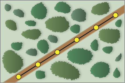
Points along line Generator
Used to generate evenly spaced or random points along a road or transect.
Provides downloads of a map and coordinates of points ready for GPS.